

pending
The geospatial workspace that runs in your browser
AI AgentsWeb
Visit website mapgo.io
See pending in action

Sign in to follow app
Opt in to release updates in your Rocket inbox. Unfollow here or in Notifications to stop future updates.
Reviews
No reviews yet. Be the first to share a useful, honest impression.
Sign in to review this app.
About
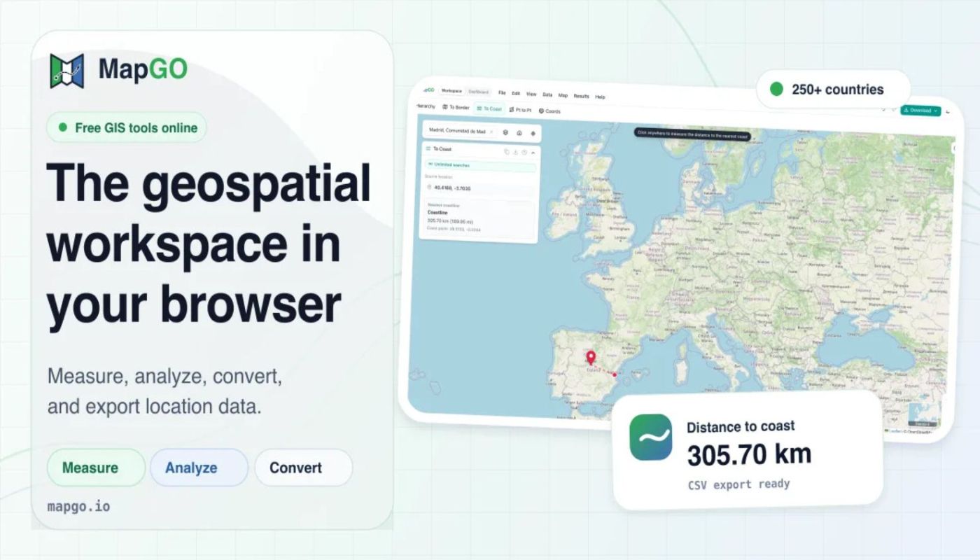
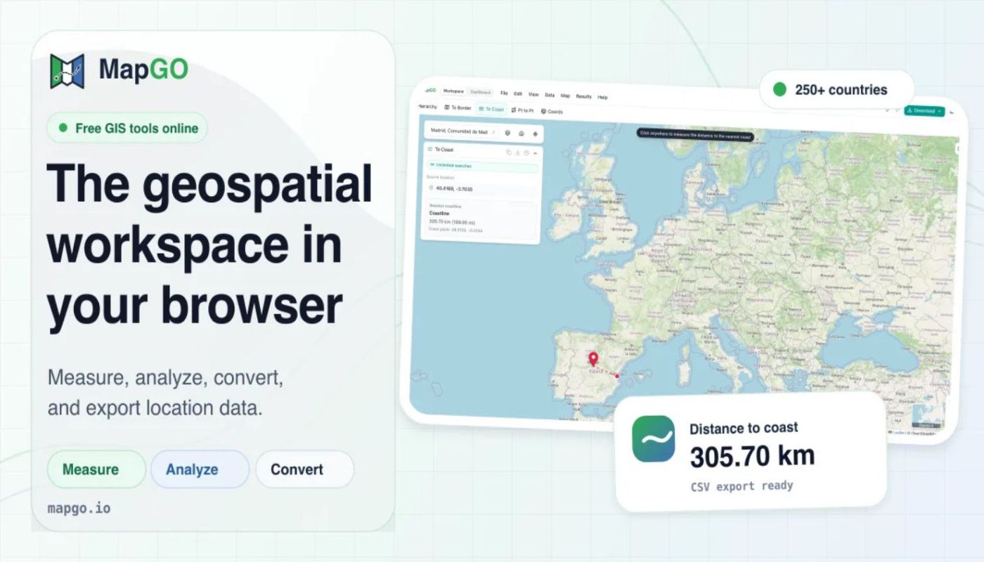
How far is this point from the sea? From the nearest border? Which country, region and district are it in? MapGO answers those in one click, then converts your Shapefile, GeoJSON, KML or GeoPackage into whatever format you need next. No GIS software, no install, it all runs in the browser. Measuring, drawing and bulk CSV lookups come with it. 250+…
Read full description
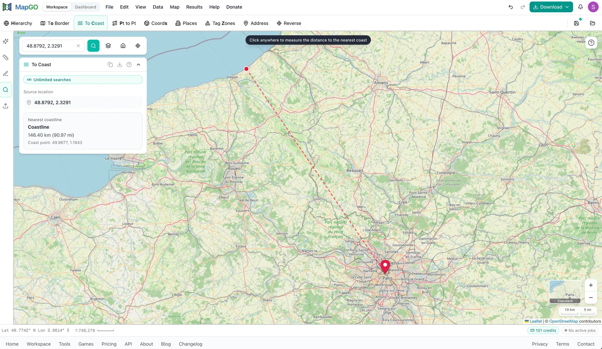
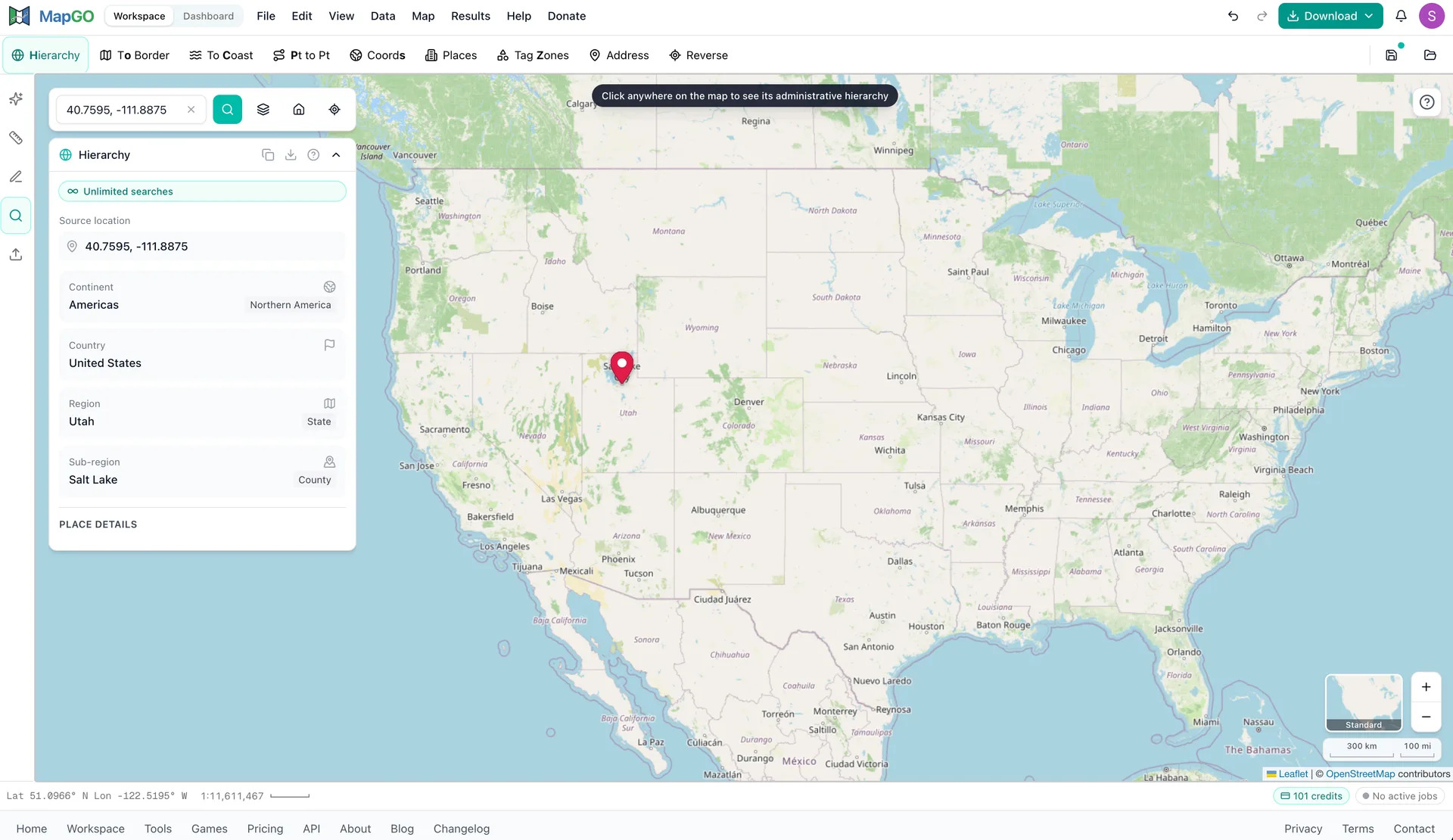
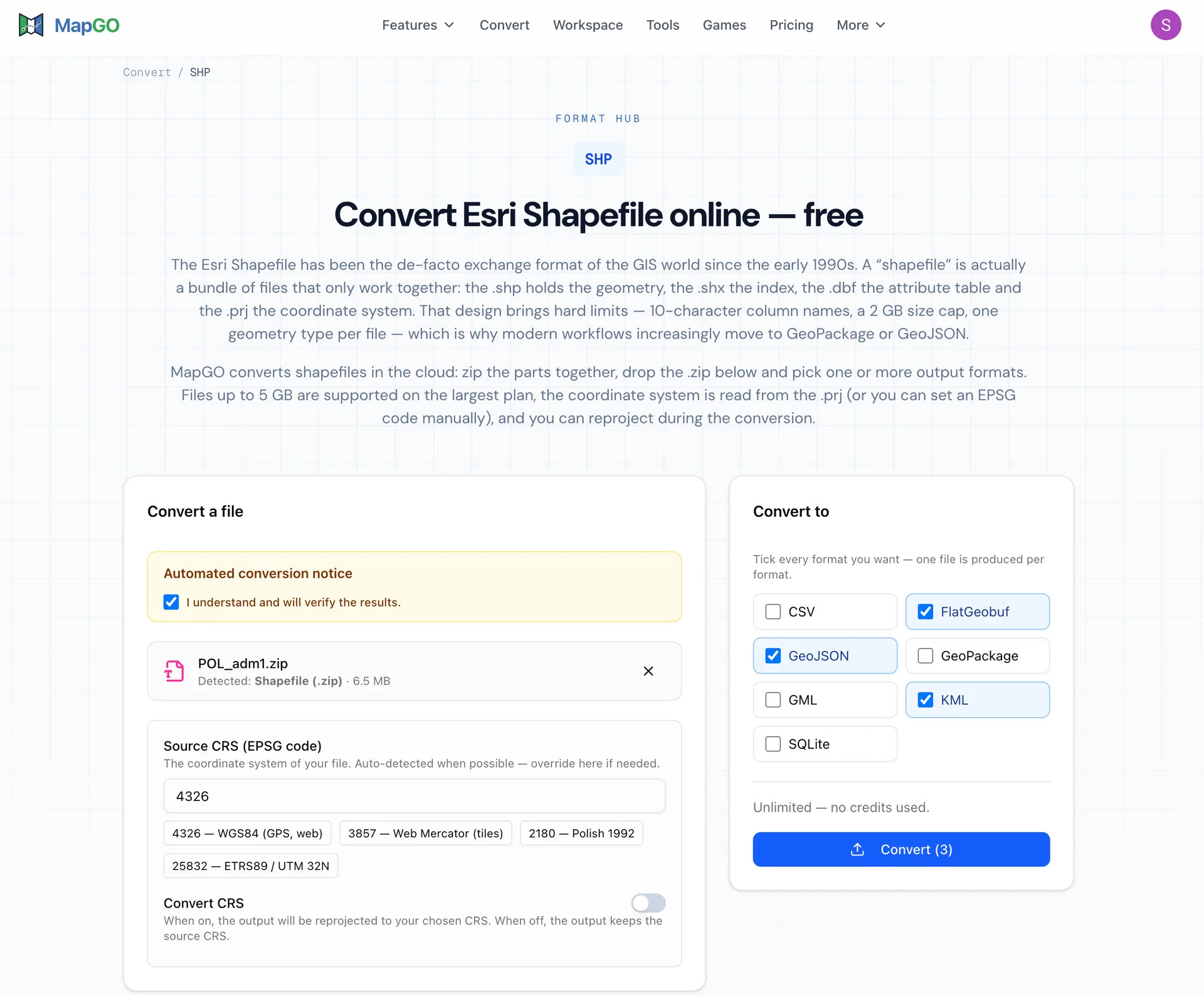
How far is this point from the sea? From the nearest border? Which country, region and district are it in? MapGO answers those in one click, then converts your Shapefile, GeoJSON, KML or GeoPackage into whatever format you need next. No GIS software, no install, it all runs in the browser. Measuring, drawing and bulk CSV lookups come with it. 250+ countries. Start free. Features: • Distance to Coastline: Get the exact distance from any point to the nearest sea, measured against high-resolution global shoreline data. • Distance to Border: Find how far a point sits from the nearest administrative boundary, drawn on the map so you see which border matched. • Location Hierarchy: Turn any coordinate into its full continent, country, region and district chain in one lookup. • File Conversion: Convert between Shapefile, GeoJSON, KML, GeoPackage, FlatGeobuf and SQLite, and reproject while you're at it. • Spatial Measurement: Measure distance, area, radius and compass bearing by clicking on the map, in metric or imperial units. • Intuitive Workspace: Draw, layer, style and edit your own map data in a clean workspace that needs no download or setup.
- Category
- AI Agents, Productivity
- Available on
- web
- Launched
- October 14, 2026
AnalyticsNo-Code Setup
Is this your app? Claim it